Alerts Sign-up
Precipitation patterns have also fluctuated, with Oct. 28, 2015 recording the highest precipitation in the past 15 years at 10.6 mm, all of which came from rainfall. Interestingly, eight years out of the last 15 years had no measurable precipitation on this date.
Wind speeds have varied as well, with the strongest gust on Oct. 28 reaching 48 mph (2018) and the highest sustained wind speed recorded at 27 mph (2018).
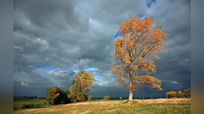
These historical trends suggest that the weather on Oct. 28 in Bradley has been quite unpredictable over the years.
Historical Oct. 28 Weather in Bradley (Last 15 Years)
| Year | High Temp (°F) | Low Temp (°F) | Precipitation (mm) | Rain (mm) | Snowfall (mm) | Strongest Wind Gust (mph) | Max Wind Speed (mph) |
|---|---|---|---|---|---|---|---|
| 2010 | 47°F | 38°F | 0 mm | 0 mm | 0 mm | 35 mph | 19 mph |
| 2011 | 54°F | 34°F | 0 mm | 0 mm | 0 mm | 15 mph | 8 mph |
| 2012 | 48°F | 40°F | 0.2 mm | 0.2 mm | 0 mm | 29 mph | 16 mph |
| 2013 | 57°F | 33°F | 0 mm | 0 mm | 0 mm | 17 mph | 10 mph |
| 2014 | 67°F | 48°F | 8.8 mm | 8.8 mm | 0 mm | 33 mph | 17 mph |
| 2015 | 57°F | 41°F | 10.6 mm | 10.6 mm | 0 mm | 35 mph | 19 mph |
| 2016 | 65°F | 41°F | 0 mm | 0 mm | 0 mm | 32 mph | 18 mph |
| 2017 | 40°F | 35°F | 0.1 mm | 0.1 mm | 0 mm | 26 mph | 14 mph |
| 2018 | 54°F | 42°F | 5.7 mm | 5.7 mm | 0 mm | 48 mph | 27 mph |
| 2019 | 56°F | 42°F | 0 mm | 0 mm | 0 mm | 13 mph | 7 mph |
| 2020 | 52°F | 32°F | 0 mm | 0 mm | 0 mm | 18 mph | 9 mph |
| 2021 | 53°F | 46°F | 10.3 mm | 10.3 mm | 0 mm | 28 mph | 14 mph |
| 2022 | 59°F | 39°F | 0 mm | 0 mm | 0 mm | 14 mph | 8 mph |
| 2023 | 52°F | 38°F | 8.1 mm | 8.1 mm | 0 mm | 24 mph | 12 mph |
| 2024 | 68°F | 41°F | 0 mm | 0 mm | 0 mm | 28 mph | 17 mph |